Program

Climate Accountability

The climate frame of our work. We document the environmental cost of war and crises, burned forests, polluted water, flooded camps, and the people who live with it, through field documentation, spatial mapping and interactive data stories.

Counting the Damage Reporting Leaves Out

Reporting on war usually counts the dead and the destroyed buildings. The damage to soil, water and forests, and to the people who depend on them, lasts longer and is rarely counted. We document that damage in conflict and crisis areas, together with the communities who live with it.

We pair the voices of local communities with geospatial data and digital evidence, so that each finding can be checked and each number keeps its human context.

01. GIS

Geospatial mapping and spatial data analysis to visualize ecological changes and resource depletion.

02. OSINT

Digital verification and satellite imagery to independently track environmental degradation and infrastructure damage.

03. On the Ground

In-depth interviews and community engagement to document the lived realities and humanize the data.

04. Data Story

Transforming complex datasets and geospatial findings into compelling, interactive visual narratives to drive impact.

Publications

Data stories and reports produced by the Climate Accountability programme.

Latest Environmental Investigations

Every story in the environmental category of our investigations, newest first. Produced with the Open-Source Investigations Unit.

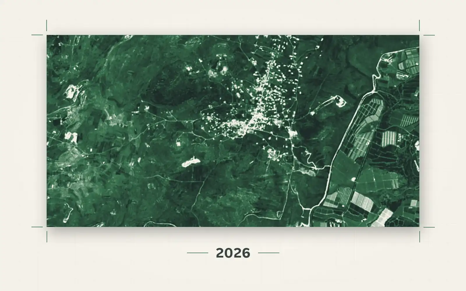
Active fire hotspots over the oak forest in the Yaroun reserve, as detected by Sentinel-2 on 2 August 2026Lebanon
Environmental & Climate · 2026

Three Years of War, a Land on Fire: Mapping the Environmental Damage in South Lebanon

An open-source investigation, in film and text, measuring what burned, what was uprooted and what was poisoned in south Lebanon between October 2023 and August 2026, using high-resolution satellite imagery, videos we geolocated, and official and scientific data.

Read the investigation
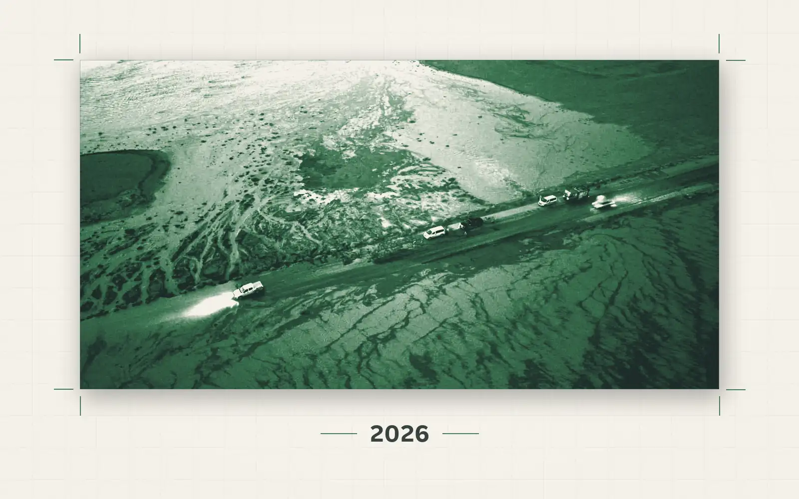
A road flooded at dusk, from the Syrian Civil Defence response reportSyria
Environmental & Climate · 2026

Flash Floods in Northern Syria: Fragile Infrastructure in the Face of Flooding

An open-source investigation using GIS analysis, satellite radar and optical imagery, official posts and 48 videos to trace where the October 2026 floods struck northern and eastern Syria.

Read the investigation
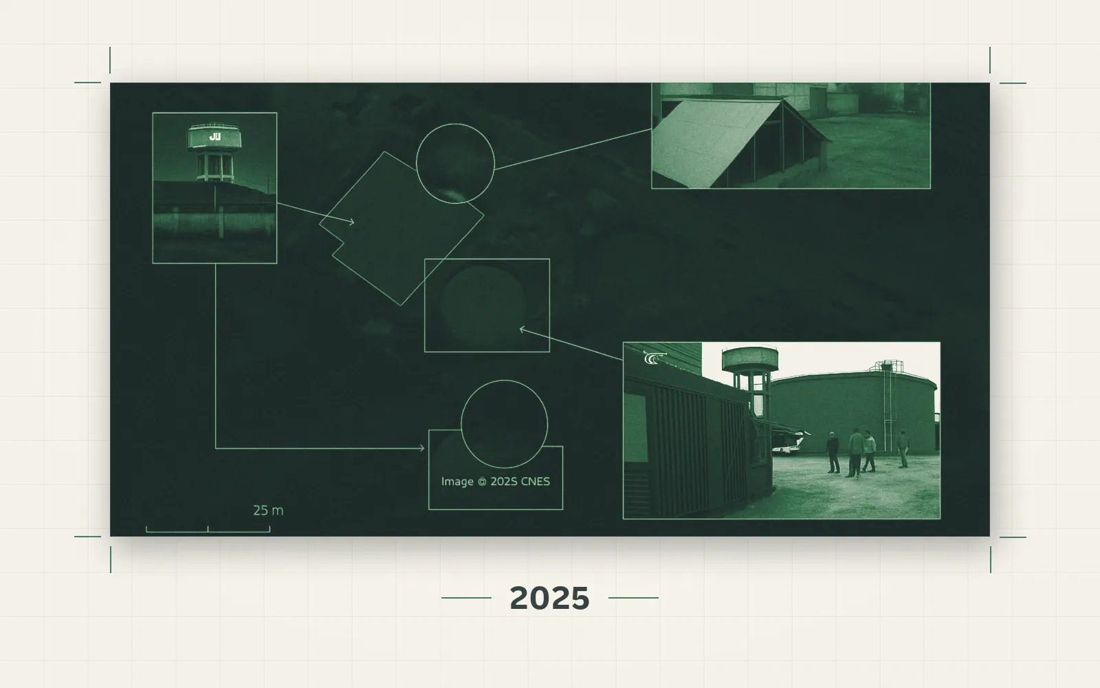
Southern Lebanon's Water Infrastructure Under FireLebanon
Infrastructure & Displacement · 2025

Southern Lebanon's Water Infrastructure Under Fire

An open-source investigation into the bombing of the Wazzani pumping station and the South Lebanon Water Establishment in Tyre, documenting the systematic targeting of Lebanon's water infrastructure.

Read the investigation
Floods in Hodeidah governorate, YemenYemen
Environmental & Climate · 2024

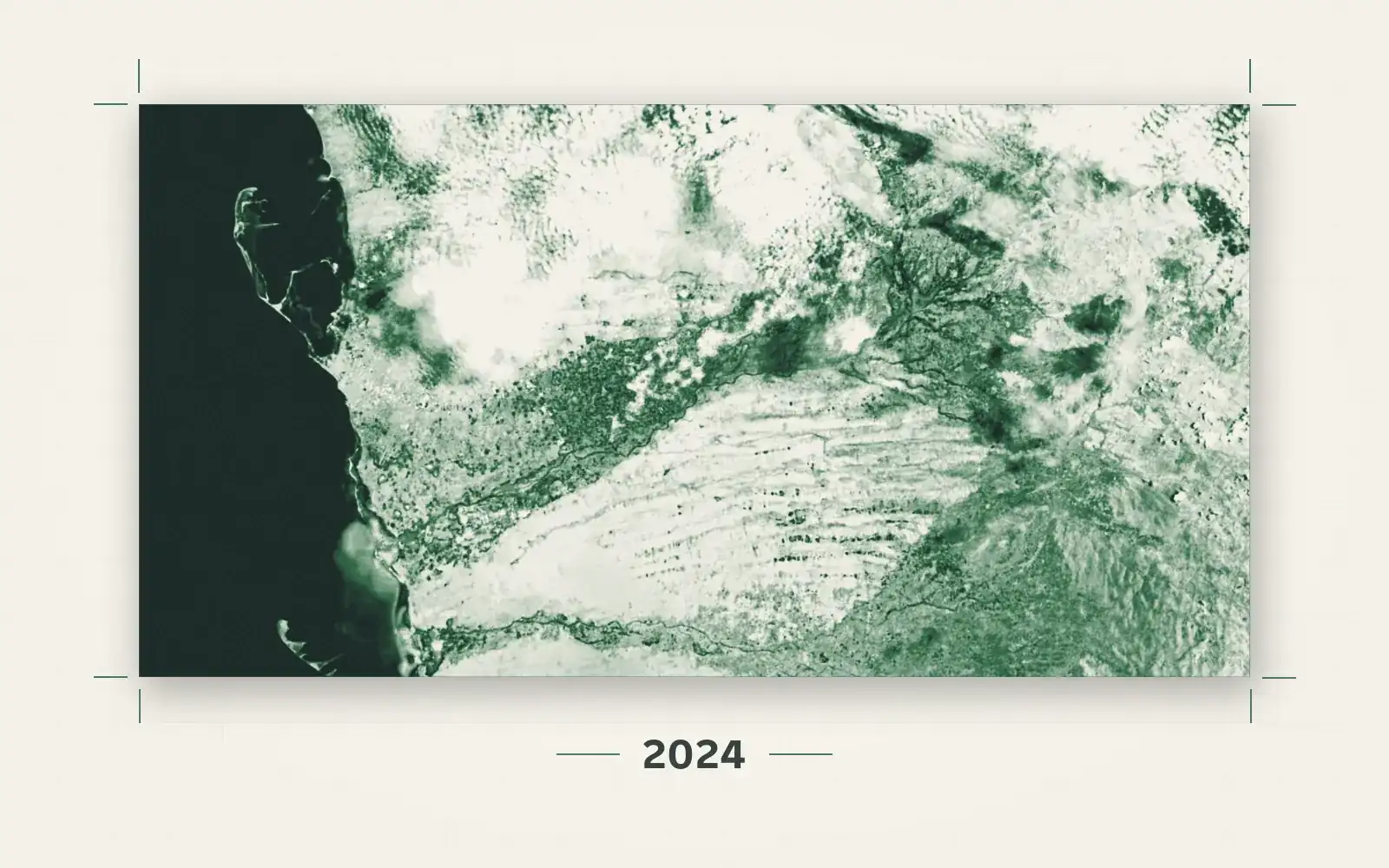
Floods and Torrential Rains in Yemen: Satellite Imagery Reveals the Scale of the Disaster in Hodeidah

An open-source investigation using satellite imagery to document the scale of the floods in Hodeidah governorate, and their impact on displacement, farmland, and public health.

Read the investigation
Meat Slaughterhouses in Egypt: Waste Management Triggers Environmental DisastersEgypt
Environmental & Climate · 2024

Meat Slaughterhouses in Egypt: Waste Management Triggers Environmental Disasters

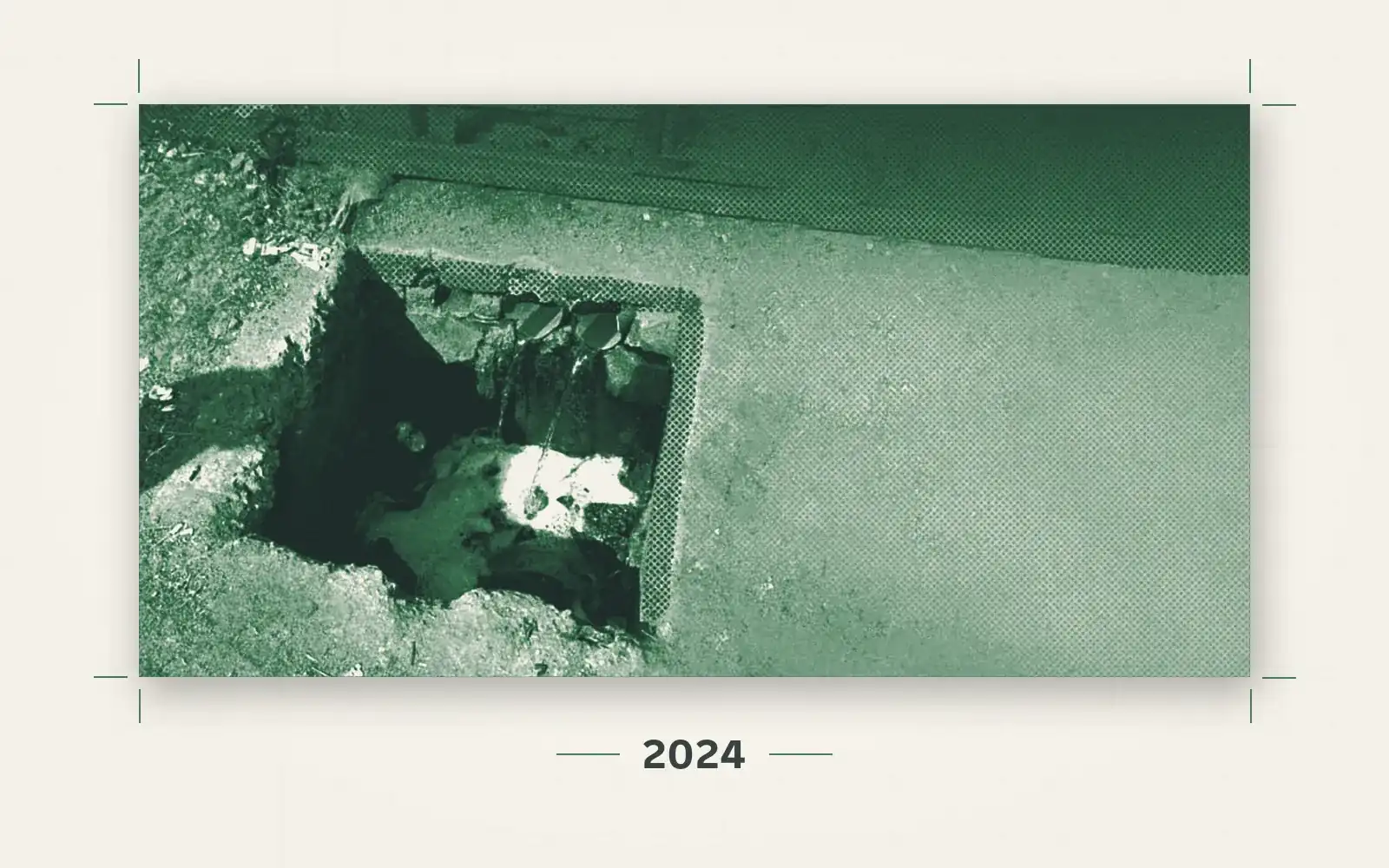
An open-source investigation documents environmental and legal violations in the management of waste inside Egypt's government-run slaughterhouses, and the discharge of polluted wastewater into sewage networks and irrigation canals.

Read the investigation
The Double Tragedy of Climate Displacement During ConflictSudan
Environmental & Climate

The Double Tragedy of Climate Displacement During Conflict

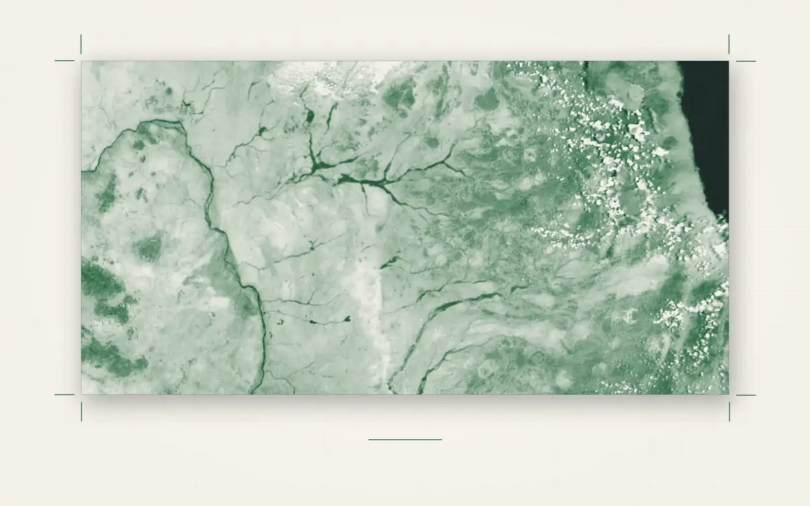
An open-source investigation using satellite data and GIS analysis to examine how climate change and armed conflict intersect to drive displacement.

Open the interactive story