All Investigations
Open-source investigations documenting potential violations of international humanitarian law, through visual analysis, geographic and temporal verification, and field testimony.
Investigations
 Interactive Story
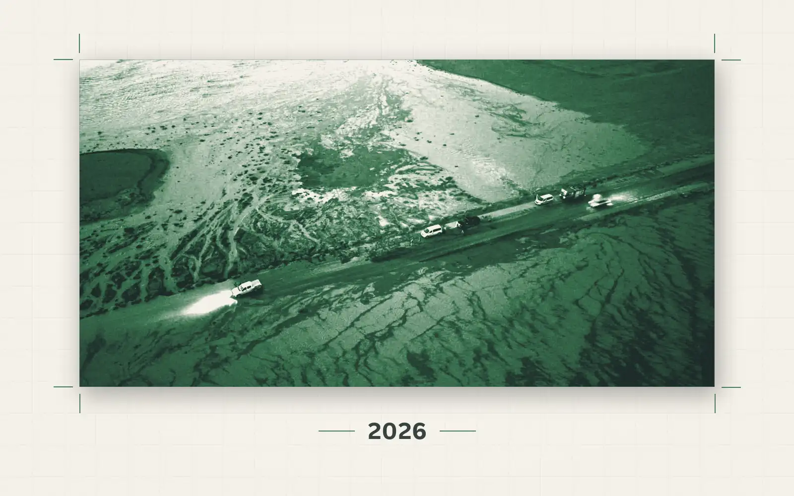
Flash Floods in Northern Syria: Fragile Infrastructure in the Face of Flooding
An open-source investigation using GIS analysis, satellite radar and optical imagery, official posts and 48 videos to trace where the October 2026 floods struck northern and eastern Syria.
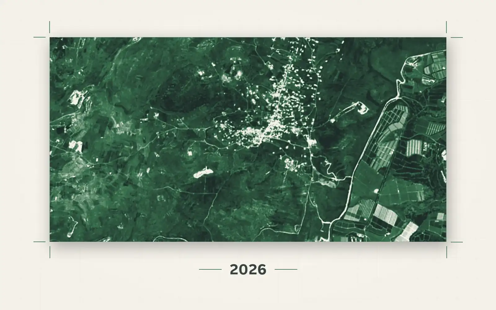
Three Years of War, a Land on Fire: Mapping the Environmental Damage in South Lebanon
An open-source investigation, in film and text, measuring what burned, what was uprooted and what was poisoned in south Lebanon between October 2023 and August 2026, using high-resolution satellite imagery, videos we geolocated, and official and scientific data.
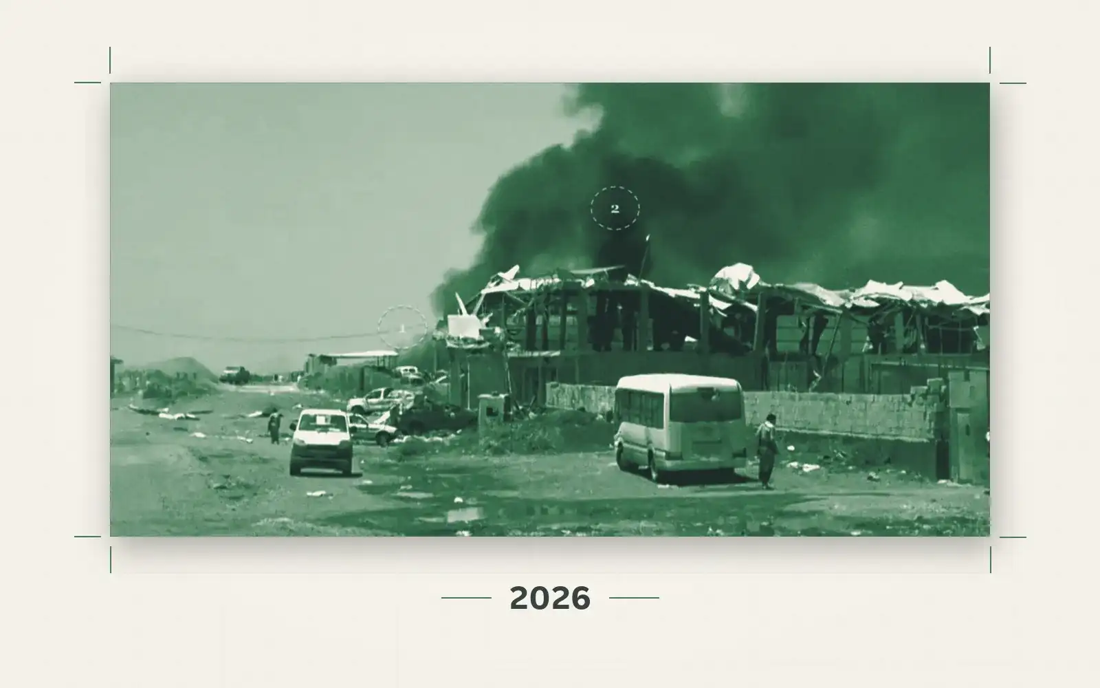
Mafraq Mawiyah Airstrikes: What Did the Strikes Hit in Taiz’s Central Market?
An open-source investigation that establishes the timing of the 27 September 2026 airstrikes on Mafraq Mawiyah, east of Taiz, and the location of the targeted building in the Taiz Central Market, and examines satellite imagery and circulating clips of the incident.
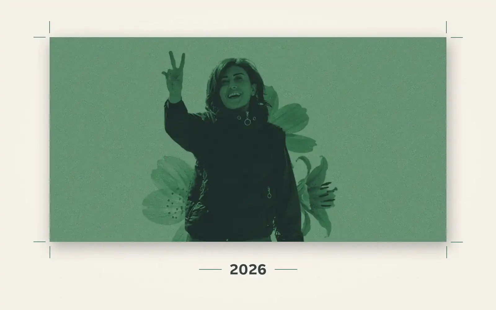
The Assassination of Journalist Amal Khalil in Southern Lebanon: "They Wanted to Kill Her"
Reconstructing 12 hours that led to the killing of journalist Amal Khalil, based on testimonies, visual material, and temporal and geographic analysis.
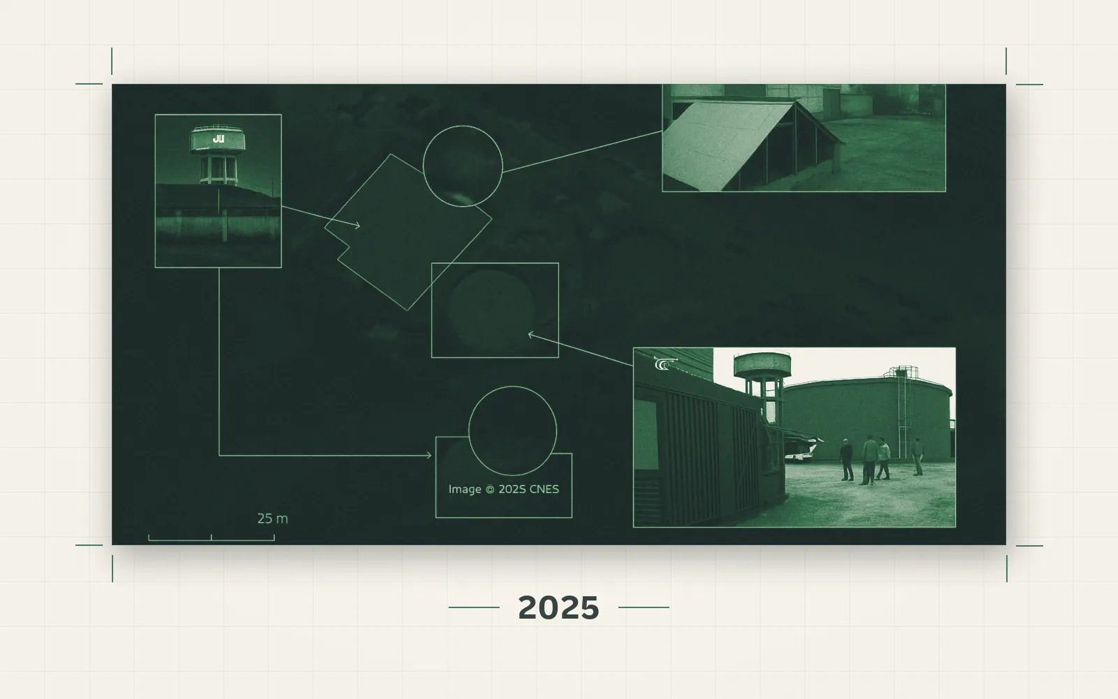
Southern Lebanon's Water Infrastructure Under Fire
An open-source investigation into the bombing of the Wazzani pumping station and the South Lebanon Water Establishment in Tyre, documenting the systematic targeting of Lebanon's water infrastructure.
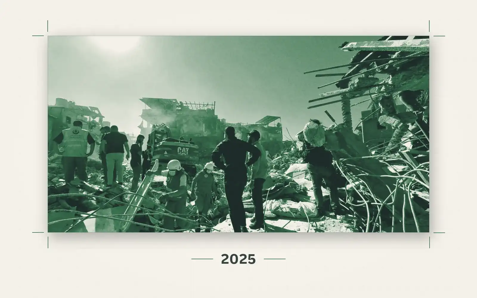
21 October 2024: The Day Israel Targeted a Densely Populated Neighbourhood Near a Government Hospital
An open-source investigation into the unannounced strike on the Al-Miqdad residential neighbourhood in Beirut, near Rafik Hariri University Hospital.
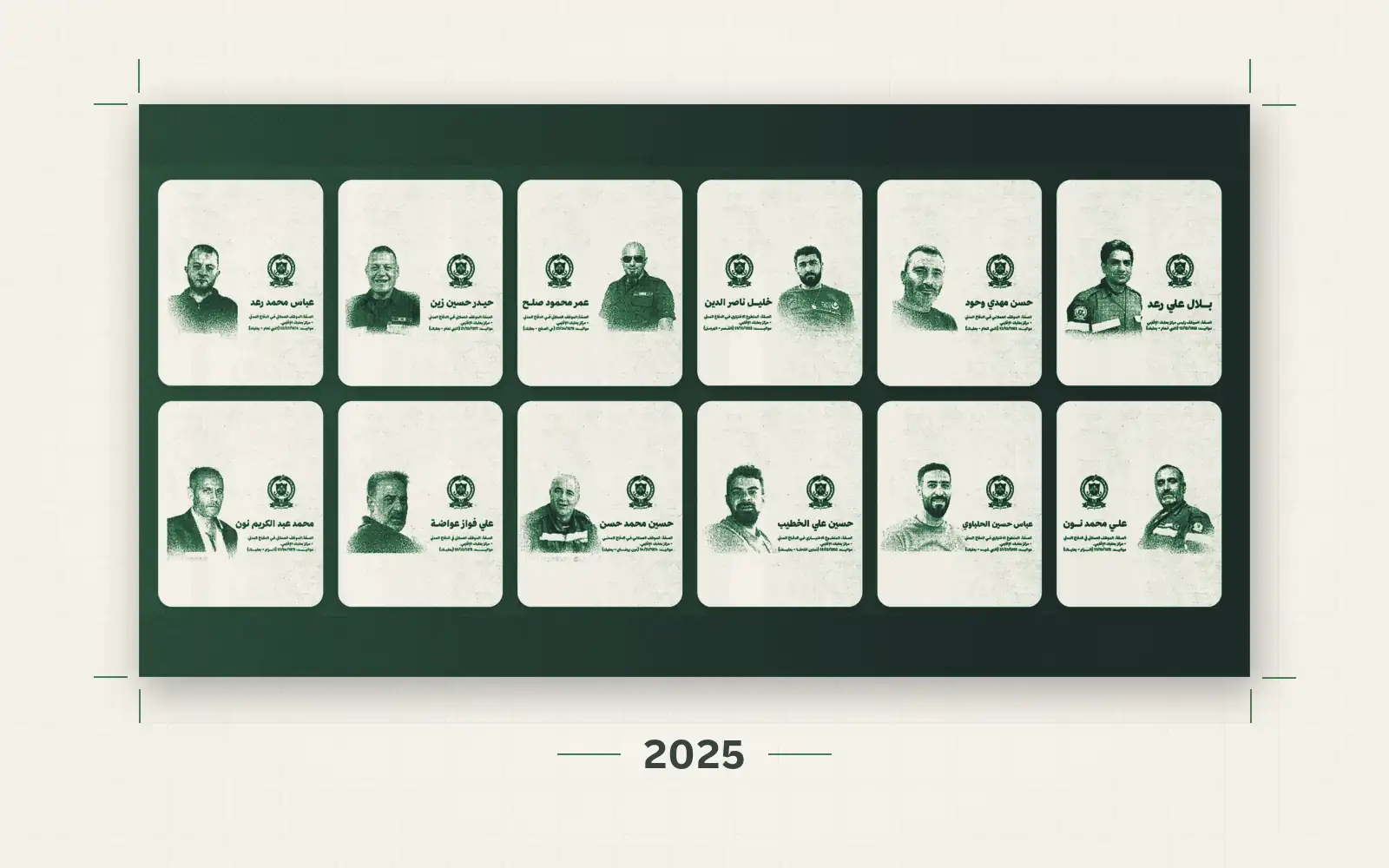
Rescuers Without Rescue: The Bombing of the Regional Civil Defence Centre in Baalbek
An open-source investigation into the Israeli airstrike on the Regional Civil Defence Centre in Douris, which killed 12 rescue workers on 14 November 2024.
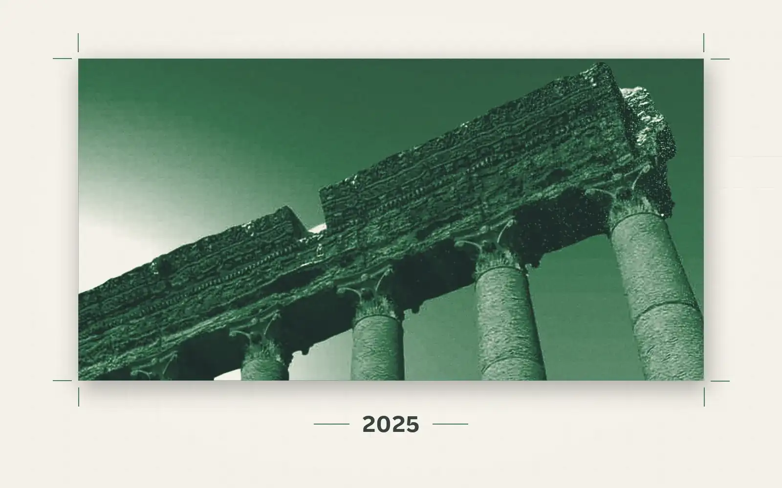
Baalbek's Heritage Under Fire
Documenting two attacks near the Baalbek Citadel targeting archaeological sites under UNESCO protection, based on precise visual and geographic analysis.
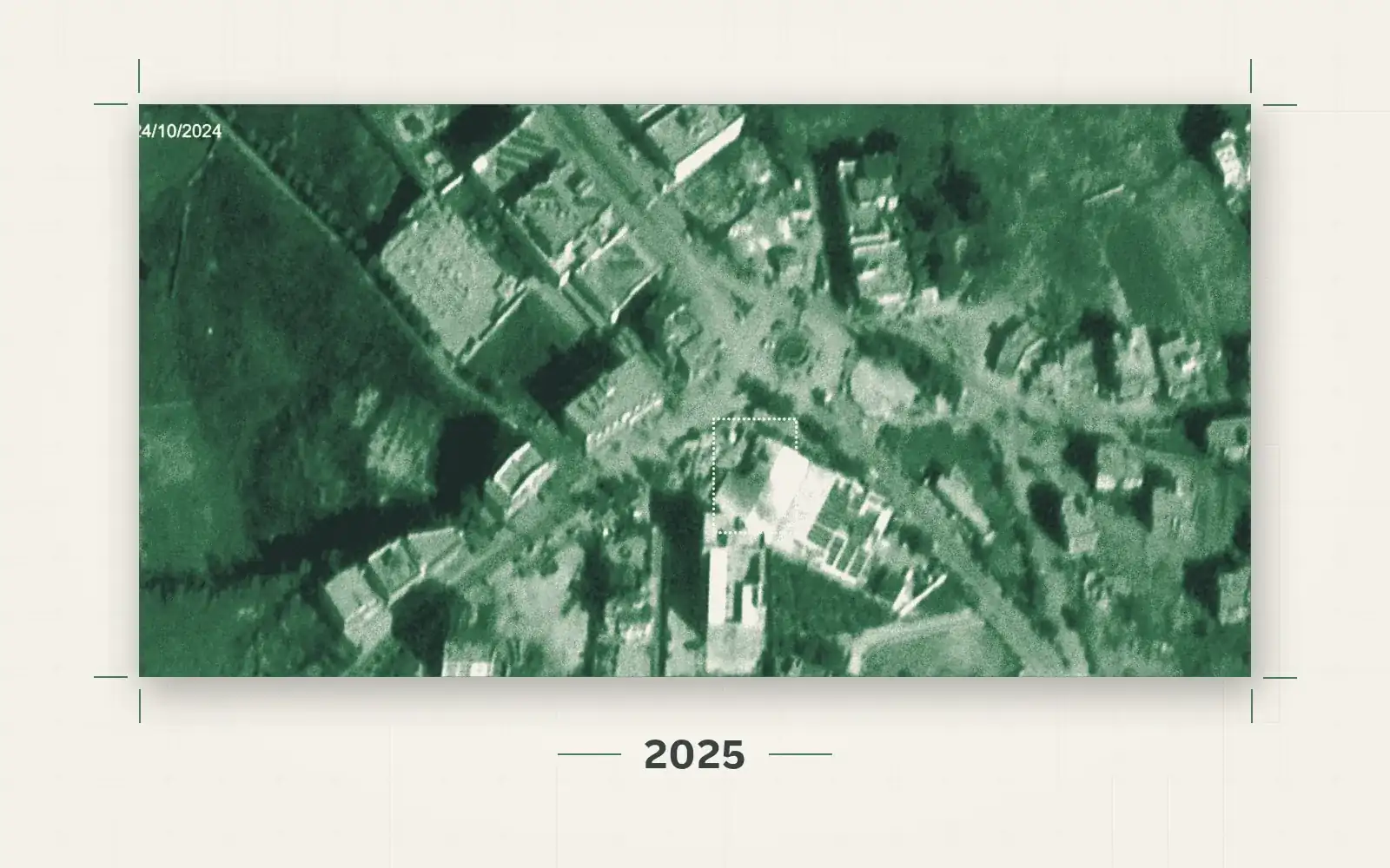
Israeli Strikes and Salah Ghandour Hospital: When Hospitals Become Targets
Documenting two Israeli strikes on Salah Ghandour Hospital in Bint Jbeil, with a legal analysis of the violation of protections for medical facilities under international humanitarian law.
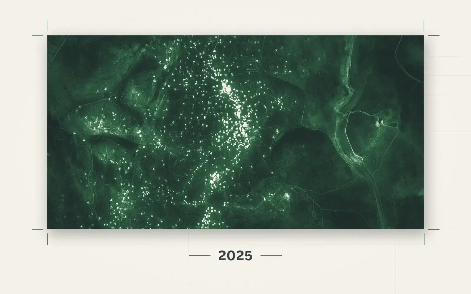
Targeting and Bulldozing the Ancient Blida Mosque: Systematic Erasure of Lebanese Heritage
An investigation using visual evidence and satellite imagery documents the Israeli military's demolition and bulldozing of the historic Prophet Shuayb Mosque in the border village of Blida, in partnership with The Legal Agenda.
 Interactive Story
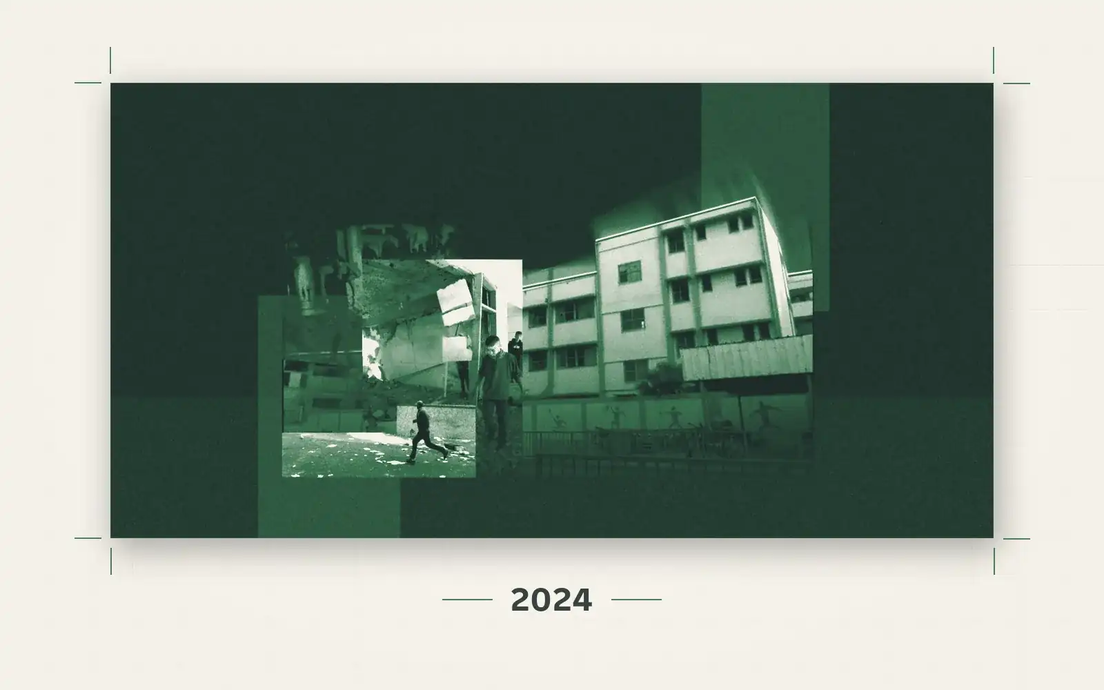
Gaza's Refugee Schools Under Fire
An open-source investigation into the bombing of four UNRWA schools sheltering displaced civilians in northern Gaza, within 72 hours in early November 2023.
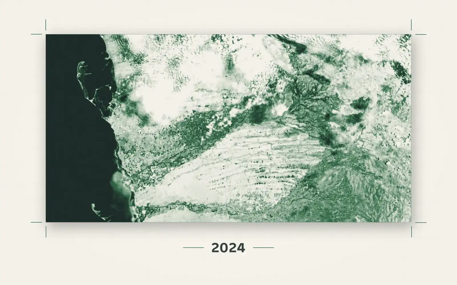
Floods and Torrential Rains in Yemen: Satellite Imagery Reveals the Scale of the Disaster in Hodeidah
An open-source investigation using satellite imagery to document the scale of the floods in Hodeidah governorate, and their impact on displacement, farmland, and public health.
 Interactive Story
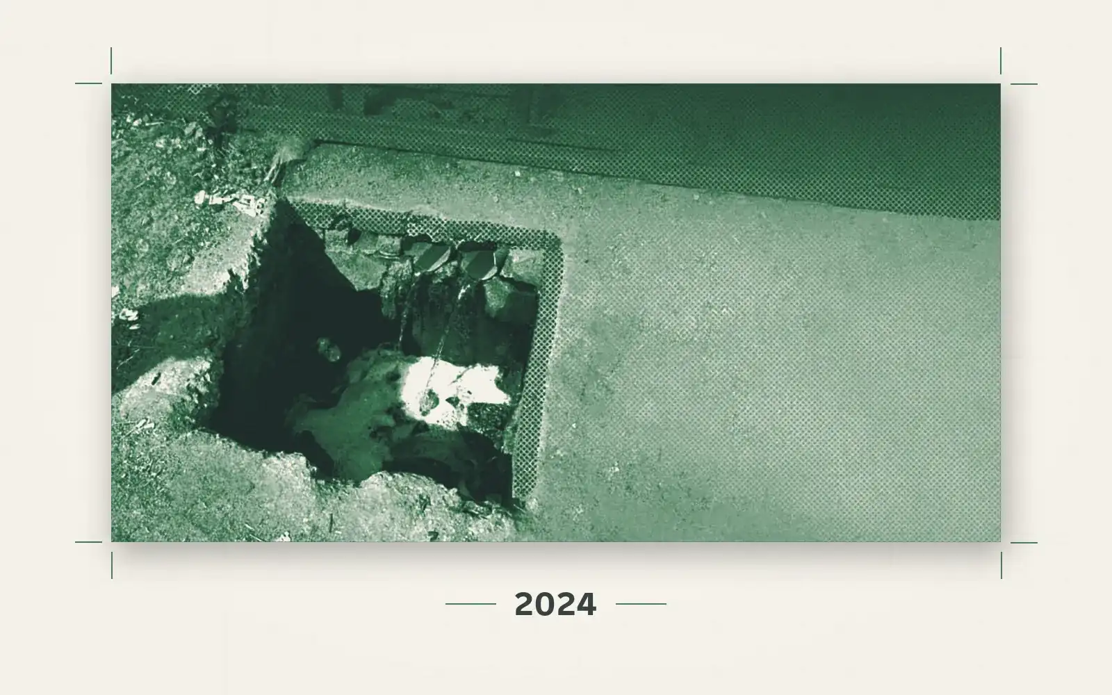
Meat Slaughterhouses in Egypt: Waste Management Triggers Environmental Disasters
An open-source investigation documents environmental and legal violations in the management of waste inside Egypt's government-run slaughterhouses, and the discharge of polluted wastewater into sewage networks and irrigation canals.
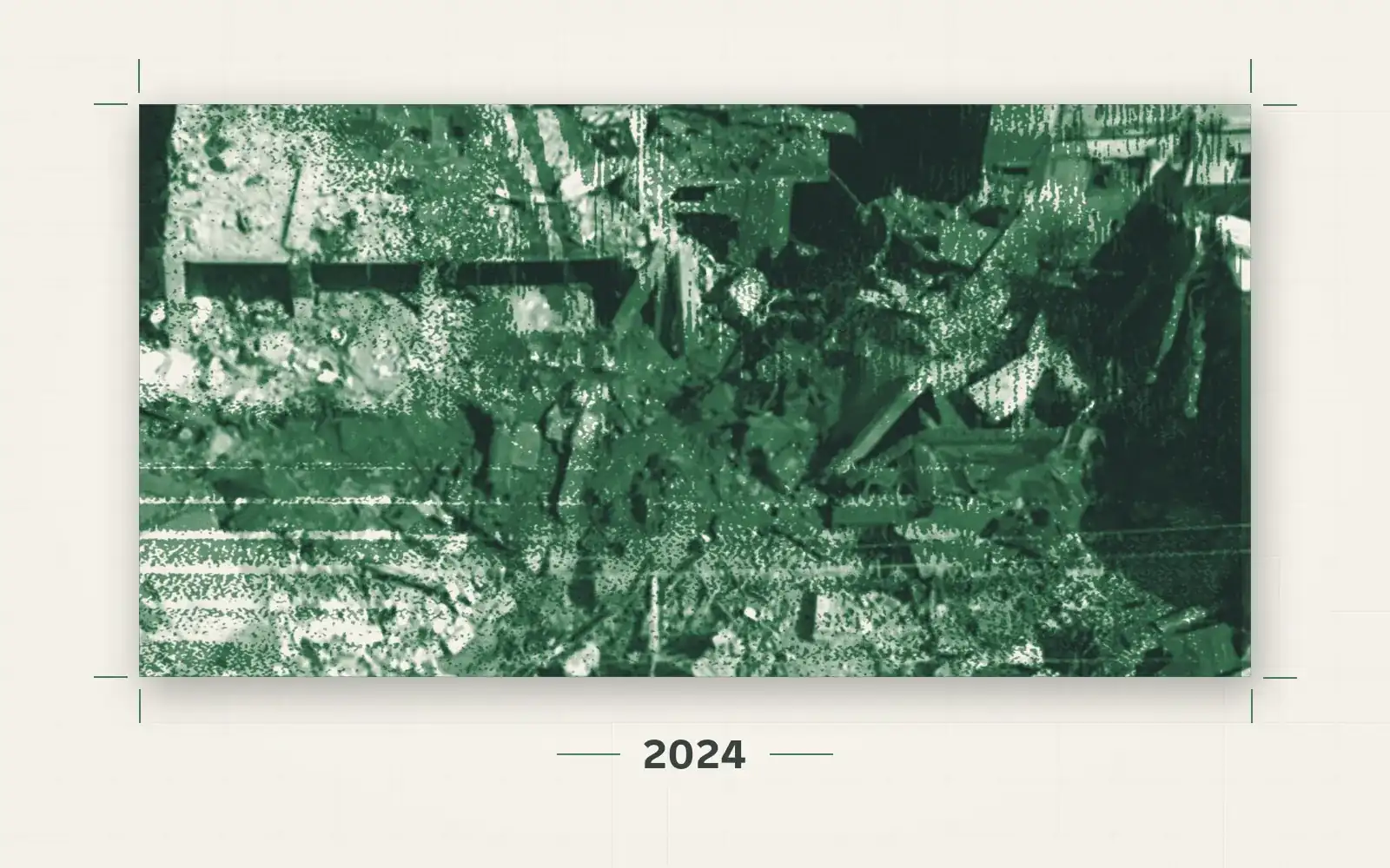
Bakeries Under the Rubble: The Bombing of al-Maghazi al-Jadeed Bakery
An open-source investigation using visual evidence and satellite imagery to document the bombing of al-Maghazi al-Jadeed Bakery, the only bakery serving al-Maghazi camp, just hours after it received flour and fuel from UNRWA.
 Interactive Story
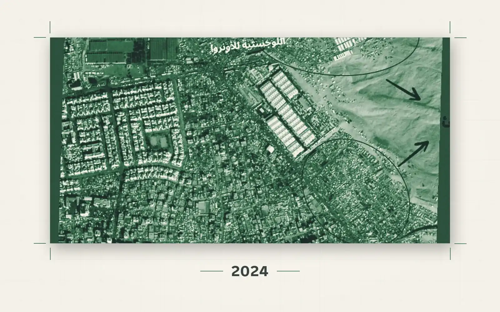
Targeting the Shelters: The Bombing of Safe Zones in Gaza
An interactive map and satellite-imagery story documenting the repeated targeting of areas Israel declared "safe" and ordered the displaced to move to in the Gaza Strip.
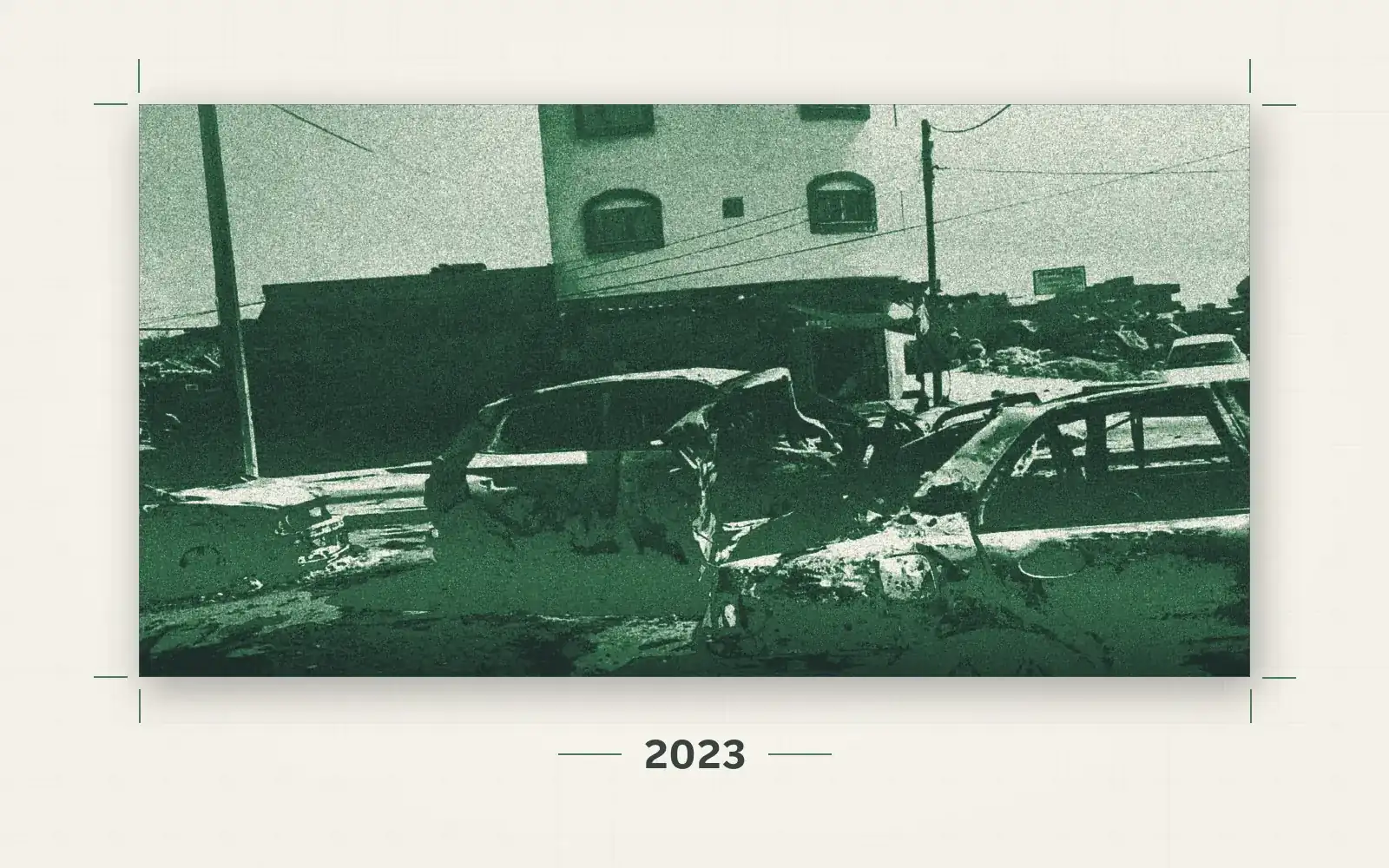
Evidence Contradicts Israel's Denial of Responsibility for Attack on Displaced Persons' Convoy in Gaza
An open-source investigation analyzing 32 visual sources documents multiple strikes on a displaced persons' convoy on Salah al-Din Street near Kuwait Roundabout on October 13, 2023, exposing a contradiction in the Israeli military's account.
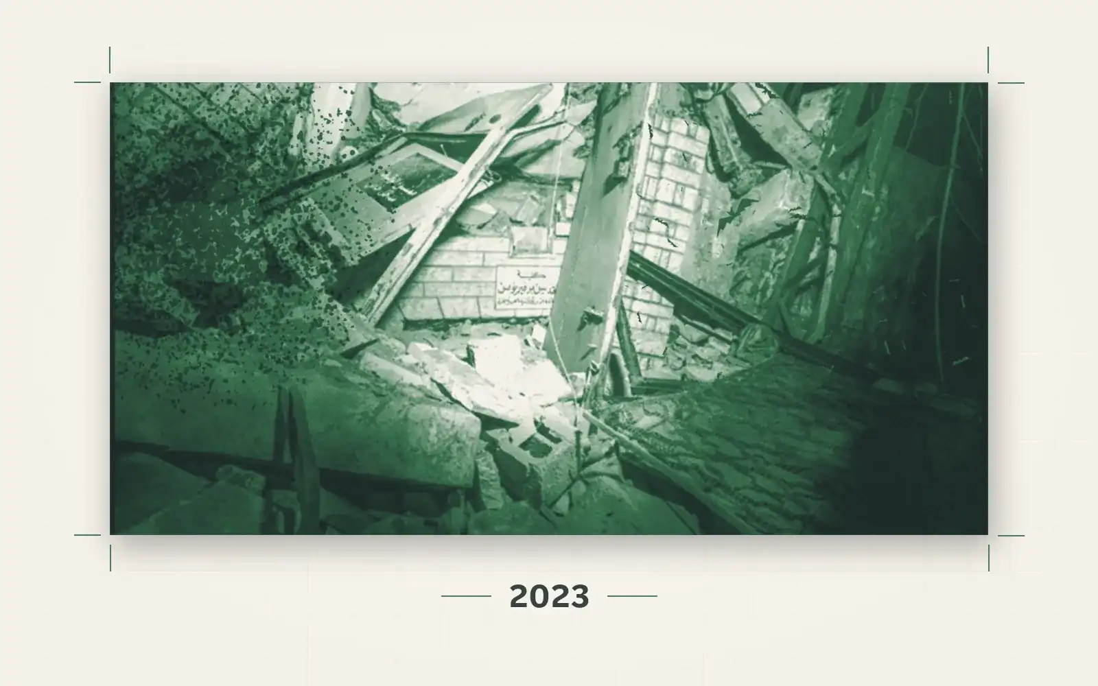
A Heritage Under Fire: The Church of Saint Porphyrius in Gaza
An open-source investigation precisely locates the building struck within the historic Saint Porphyrius church compound in Gaza's Old City, and disproves the Israeli military's account of the target.
 Interactive Story
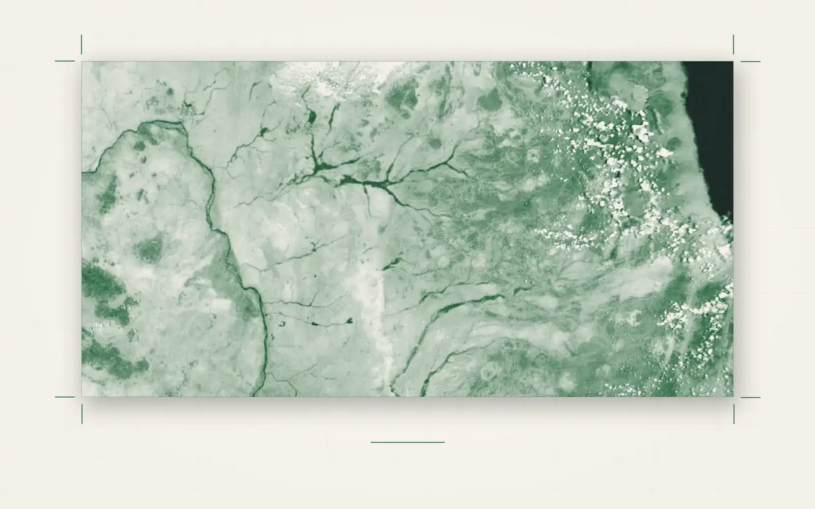
The Double Tragedy of Climate Displacement During Conflict
An open-source investigation using satellite data and GIS analysis to examine how climate change and armed conflict intersect to drive displacement.